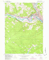
1954 Map of Warren
USGS Topo · Published 1982About this map
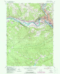
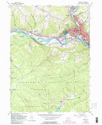
The Allegheny River defines the industrial and geographic character of this Pennsylvania landscape, where the city of Warren sits at the junction of the Conewango Creek. In the mid-1950s, the region was a hub of energy and transport, evidenced by the Conrail line, a Refinery, and the Tionesta Grade cutting through the southern timberlands.
Find a feature on this map
51 named features on this map. Tap any name to fly to it.
Don’t see what you’re looking for? This feature index may not catch every label — zoom into the map to look around manually.
Map Details
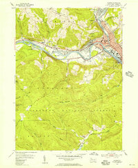
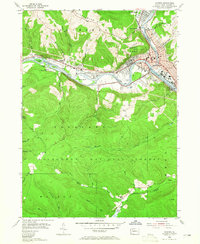
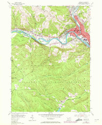
Editions of this 1954 Warren Map
6 editions found
Other maps of this area

1906 · Warren
USGS Topo · 1:62,500

1907 · Warren
USGS Topo · 1:62,500

1908 · Warren
USGS Topo · 1:62,500

1926 · Youngsville
USGS Topo · 1:62,500

1927 · Tidioute
USGS Topo · 1:48,000

1929 · Youngsville
USGS Topo · 1:62,500

1930 · Tidioute
USGS Topo · 1:62,500

1935 · Sheffield
USGS Topo · 1:48,000

1941 · Sheffield
USGS Topo · 1:62,500

1943 · Youngsville
USGS Topo · 1:62,500