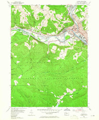
1954 Map of Warren
USGS Topo · Published 1965About this map
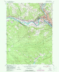
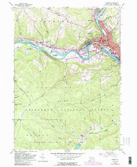
The confluence of Conewango Creek and the Allegheny River anchors this mid-century Pennsylvania landscape, centered on the borough of Warren. The industrial character of the era is evident in the Oil Refinery and the extensive oil field operations scattered across the eastern hills. Transportation routes are dominated by the Pennsylvania Central and New York Central railroads, which parallel the riverbanks and connect riverside settlements like Starbrick and Venturetown.
Find a feature on this map
59 named features on this map. Tap any name to fly to it.
Don’t see what you’re looking for? This feature index may not catch every label — zoom into the map to look around manually.
Map Details
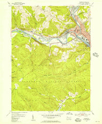
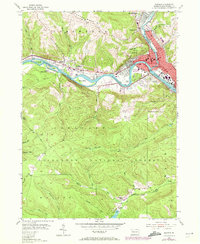
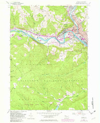
Editions of this 1954 Warren Map
6 editions found
Other maps of this area

1906 · Warren
USGS Topo · 1:62,500

1907 · Warren
USGS Topo · 1:62,500

1908 · Warren
USGS Topo · 1:62,500

1926 · Youngsville
USGS Topo · 1:62,500

1927 · Tidioute
USGS Topo · 1:48,000

1929 · Youngsville
USGS Topo · 1:62,500

1930 · Tidioute
USGS Topo · 1:62,500

1935 · Sheffield
USGS Topo · 1:48,000

1941 · Sheffield
USGS Topo · 1:62,500

1943 · Youngsville
USGS Topo · 1:62,500