Loading...
Loading map...2022 Map of Warroad
USGS Topo · Published 2022About this map
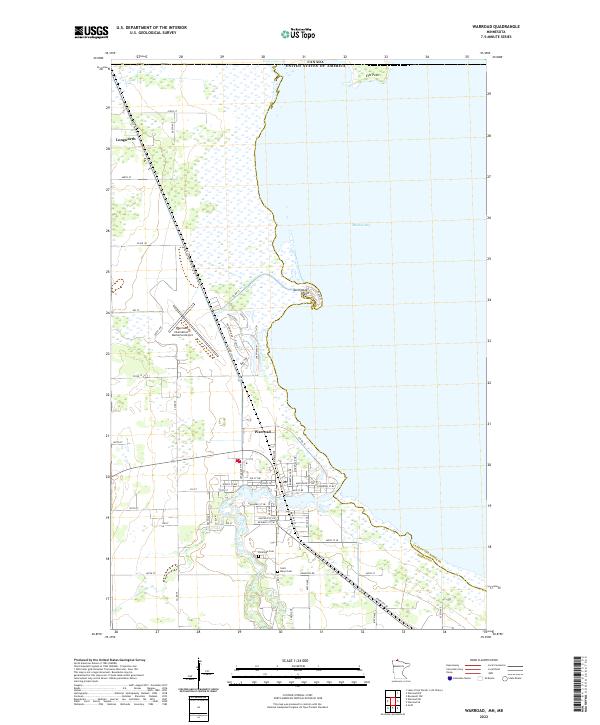
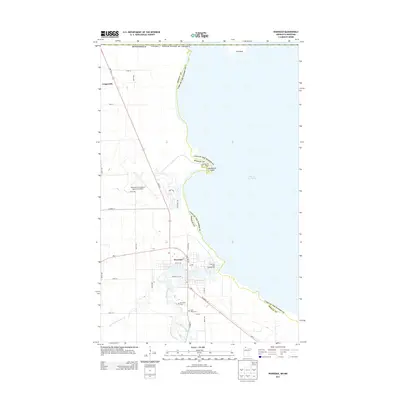
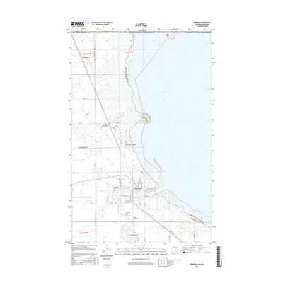
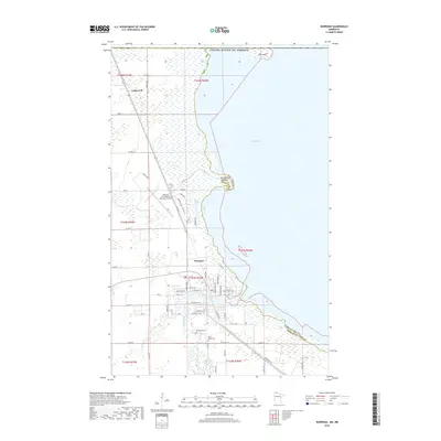
Warroad serves as the focal point of this northern Minnesota landscape, situated along the southwestern shores of Muskeg Bay. The settlement pattern reflects a gateway to the waters of Lake of the Woods, with the Warroad River winding through the town and a network of local roads including Co Hwy 74 and Lake St NE defining the residential and commercial grid. Near the bay, Springsteel Island and the isolated Elm Point highlight the irregular shoreline of this border region.
Find a feature on this map
47 named features on this map. Tap any name to fly to it.
Don’t see what you’re looking for? This feature index may not catch every label — zoom into the map to look around manually.
Map Details
Date Portrayed2022
Date Published2022
PublisherU.S. Geological Survey
Map TypeTopographic
Scale1:24,000
Physical Dimensions24 x 29 inches
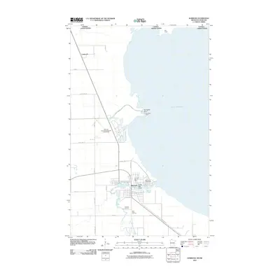
Editions of this 2022 Warroad Map
This is the sole edition of this map. No revisions or reprints were ever made.
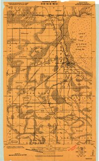
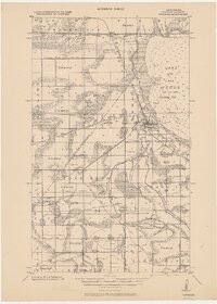
Historical Maps of Warroad Through Time
8 maps found

Featured Locations
Source Details
SourceU.S. Geological Survey
CopyrightPublic Domain