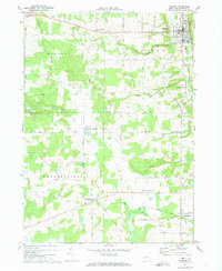
1972 Map of Warsaw
USGS Topo · Published 1974About this map
Warsaw serves as the primary hub in this central Wyoming County landscape, where the valley of Oatka Creek is flanked by the steep rising hills of Warsaw and Orangeville. The 1972 topography illustrates a distinct rural economy defined by dairy farming and timber, with numerous hamlets like Wethersfield Springs and Hermitage serving as local centers. Transport infrastructure is prominent, featuring the routes of the Erie-Lackawanna and Baltimore and Ohio railroads that navigate the varied elevations of the plateau.
Find a feature on this map
56 named features on this map. Tap any name to fly to it.
Don’t see what you’re looking for? This feature index may not catch every label — zoom into the map to look around manually.
Map Details
Editions of this 1972 Warsaw Map
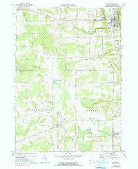
2 editions found
Other maps of this area

1904 · Batavia
USGS Topo · 1:62,500

1905 · Attica
USGS Topo · 1:62,500

1905 · Portage
USGS Topo · 1:62,500

1923 · Arcade
USGS Topo · 1:62,500

1925 · Arcade
USGS Topo · 1:62,500

1943 · Warsaw
USGS Topo · 1:24,000

1943 · Castile
USGS Topo · 1:24,000

1943 · Portageville
USGS Topo · 1:24,000

1943 · Pike
USGS Topo · 1:24,000

1944 · Pike
USGS Topo · 1:31,680