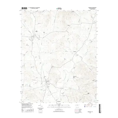
2016 Map of Wartrace
USGS Topo · Published 2016About this map
Wartrace and Bell Buckle serve as the primary anchors of this central Tennessee landscape, where the traditional rail-and-creek geography of Bedford County remains clearly visible. The drainage of Garrison Fork and Wartrace Creek dictates the placement of roads like Fairfield Pike and historic clusters at Fairfield and Kellertown. For genealogists, the map is remarkably dense with family-named burial sites, including the Henry-Jarman Cem, McMahan Cem, and the uniquely titled Bates-Finch-Muse Cem. To the south, the topography transitions toward the water at Bedford Lake and Morgan Lake, while the eastern edge is defined by the elevation around Pannell Ridge. The naming conventions found in Justice Hollow and Happy Valley reflect a long-established local identity tied to the specific limestone valleys and hollows of the Highland Rim.
Find a feature on this map
125 named features on this map. Tap any name to fly to it.
Don’t see what you’re looking for? This feature index may not catch every label — zoom into the map to look around manually.
Map Details
Editions of this 2016 Wartrace Map
This is the sole edition of this map. No revisions or reprints were ever made.
Other maps of this area

1913 · Hollow Springs
USGS Topo · 1:62,500

1936 · Ovoca
USGS Topo · 1:24,000

1936 · Webbs Jungle
USGS Topo · 1:24,000

1936 · Shelbyville
USGS Topo · 1:24,000

1936 · Deason
USGS Topo · 1:24,000

1936 · Beech Grove
USGS Topo · 1:24,000

1936 · Noah
USGS Topo · 1:24,000

1936 · Wartrace
USGS Topo · 1:24,000

1936 · Normandy
USGS Topo · 1:24,000

1936 · Fosterville
USGS Topo · 1:24,000