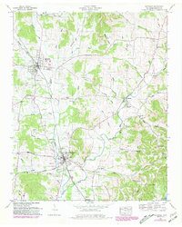
1949 Map of Wartrace
USGS Topo · Published 1981About this map
Bell Buckle and Wartrace anchor this landscape, connected by the Louisville and Nashville railroad as it winds through the Bedford County hills. The map highlights the renowned Webb School and a dense network of family and community landmarks, including Old Salem Cem and Hazel Cem. The terrain is defined by the winding course of Wartrace Creek and the Garrison Fork, where small settlements like Fairfield and Bugscuffle sit along rural routes like the Fairfield Pike. Revision layers from the late 1970s illustrate the gradual evolution of field lines and woodland cover, while original 1940s details preserve the locations of numerous country churches such as New Hope Church and Hords Chapel. The presence of several hollows, including Hatchett Hollow and Justice Hollow, reflects the complex geography that shaped early Tennessee land ownership and agricultural patterns.
Find a feature on this map
58 named features on this map. Tap any name to fly to it.
Don’t see what you’re looking for? This feature index may not catch every label — zoom into the map to look around manually.
Map Details
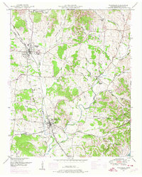
Editions of this 1949 Wartrace Map
2 editions found
Other maps of this area

1913 · Hollow Springs
USGS Topo · 1:62,500

1936 · Ovoca
USGS Topo · 1:24,000

1936 · Webbs Jungle
USGS Topo · 1:24,000

1936 · Shelbyville
USGS Topo · 1:24,000

1936 · Deason
USGS Topo · 1:24,000

1936 · Beech Grove
USGS Topo · 1:24,000

1936 · Noah
USGS Topo · 1:24,000

1936 · Wartrace
USGS Topo · 1:24,000

1936 · Normandy
USGS Topo · 1:24,000

1936 · Fosterville
USGS Topo · 1:24,000