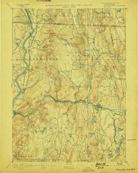
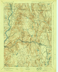
1894 Map of Warwick
USGS Topo · Published 1898About this map
Connecticut River navigation and industrial rail transport define this late 19th-century landscape where Massachusetts meets Vermont and New Hampshire. The New London Northern Railroad follows the riverbank, serving rural hubs like South Vernon Junction and Gill Station, while the Fitchburg Road cuts east-west along the Millers River corridor through Erving and Orange. A notable industrial detail includes an Iron Ore deposit near Warwick, suggesting the era's persistent local extraction efforts.
Find a feature on this map
105 named features on this map. Tap any name to fly to it.
Don’t see what you’re looking for? This feature index may not catch every label — zoom into the map to look around manually.
Map Details
Editions of this 1894 Warwick Map
6 editions found

Other maps of this area

1885 · Northampton
USGS Topo · 1:62,500

1886 · Northampton
USGS Topo · 1:62,500

1887 · Warwick
USGS Topo · 1:62,500

1887 · Belchertown
USGS Topo · 1:62,500

1887 · Winchendon
USGS Topo · 1:62,500

1887 · Barre
USGS Topo · 1:62,500

1889 · Barre
USGS Topo · 1:62,500

1889 · Warwick
USGS Topo · 1:62,500

1890 · Belchertown
USGS Topo · 1:62,500

1890 · Greenfield
USGS Topo · 1:62,500