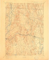
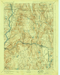
1894 Map of Warwick
USGS Topo · Published 1909About this map
The Connecticut River and Millers River corridors define the transport and settlement patterns of Franklin County in the late 19th century. This area is a complex junction of rail lines, where the Fitchburg Railroad follows the winding path of the Millers River through Farley and Erving, and the New London Northern Railroad runs north-south through Northfield and Millers Falls. The topography is dominated by prominent heights such as Mount Grace and Chestnut Hill, which hem in the smaller villages like Wendell and Warwick. Significant industrial and agricultural footprints are visible at Beers Plain and Pine Meadow, while smaller hubs like Wendell Depot and Gill Station mark the essential connection points for rural commerce. To the north, the Vermont Massachusetts and New Hampshire Massachusetts boundary lines emphasize the strategic importance of South Vernon Junction as a regional gateway.
Find a feature on this map
125 named features on this map. Tap any name to fly to it.
Don’t see what you’re looking for? This feature index may not catch every label — zoom into the map to look around manually.
Map Details
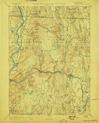
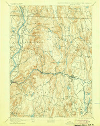
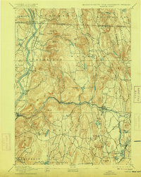
Editions of this 1894 Warwick Map
6 editions found

Other maps of this area

1885 · Northampton
USGS Topo · 1:62,500

1886 · Northampton
USGS Topo · 1:62,500

1887 · Warwick
USGS Topo · 1:62,500

1887 · Belchertown
USGS Topo · 1:62,500

1887 · Winchendon
USGS Topo · 1:62,500

1887 · Barre
USGS Topo · 1:62,500

1889 · Barre
USGS Topo · 1:62,500

1889 · Warwick
USGS Topo · 1:62,500

1890 · Belchertown
USGS Topo · 1:62,500

1890 · Greenfield
USGS Topo · 1:62,500