
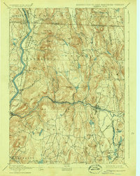
1894 Map of Warwick
USGS Topo · Published 1894About this map
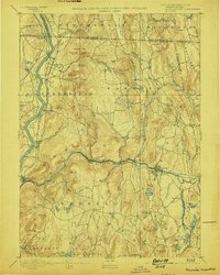
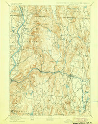
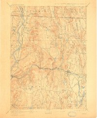
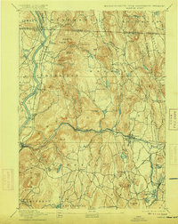
The Connecticut River carves the western edge of this 1894 landscape, where industrial and agricultural patterns meet along the valley floor. The Millers River corridor serves as a primary transport artery, carrying the Fitchburg Railroad through settlements like Erving and Orange. This network connects the upland village of Warwick and the prominent heights of Mount Grace to the riverine economy below. Notable infrastructure of the era includes the Ferry near Northfield Farms, providing a vital crossing before modern bridging became universal.
Find a feature on this map
104 named features on this map. Tap any name to fly to it.
Don’t see what you’re looking for? This feature index may not catch every label — zoom into the map to look around manually.
Map Details
Editions of this 1894 Warwick Map
6 editions found
Other maps of this area

1885 · Northampton
USGS Topo · 1:62,500

1886 · Northampton
USGS Topo · 1:62,500

1887 · Warwick
USGS Topo · 1:62,500

1887 · Belchertown
USGS Topo · 1:62,500

1887 · Winchendon
USGS Topo · 1:62,500

1887 · Barre
USGS Topo · 1:62,500

1889 · Barre
USGS Topo · 1:62,500

1889 · Warwick
USGS Topo · 1:62,500

1890 · Belchertown
USGS Topo · 1:62,500

1890 · Greenfield
USGS Topo · 1:62,500