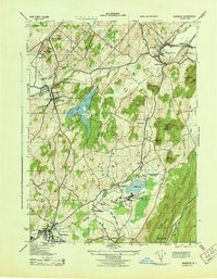
1943 Map of Warwick
USGS Topo · Published 1943About this map
The village of Warwick and its surrounding dairy and rail landscape are detailed here just as World War II aerial photography revolutionized topographic mapping. The area's agricultural and social character is prominent, from the County Poor Farm near Orange Farm to the Greycourt Stock Farm and the specialized grounds of the New York Training School for Boys near Wickham Lake. Settlement patterns follow the valley floors, with concentrated hubs at Chester, Florida, and Bellvale.
Find a feature on this map
46 named features on this map. Tap any name to fly to it.
Don’t see what you’re looking for? This feature index may not catch every label — zoom into the map to look around manually.
Map Details
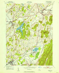
Editions of this 1943 Warwick Map
2 editions found
Other maps of this area

1891 · Greenwood Lake
USGS Topo · 1:62,500

1891 · Ramapo
USGS Topo · 1:62,500

1893 · Greenwood Lake
USGS Topo · 1:62,500

1893 · Ramapo
USGS Topo · 1:62,500

1902 · Schunemunk
USGS Topo · 1:62,500

1903 · Greenwood Lake
USGS Topo · 1:62,500

1906 · Goshen
USGS Topo · 1:62,500

1908 · Goshen
USGS Topo · 1:62,500

1910 · Ramapo
USGS Topo · 1:62,500

1910 · Greenwood Lake
USGS Topo · 1:62,500