
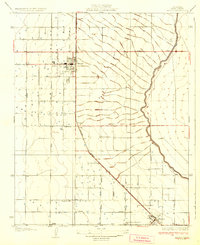
1930 Map of Wasco
USGS Topo · Published 1930About this map
Agricultural development in the Central Valley is the focus of this 1927 survey, featuring the growing town of Wasco and the developing outskirts of Shafter. The landscape is organized by an emerging grid of rural avenues and canals, most notably the Calloway Canal winding through the eastern portion of the quadrangle. The Atchison Topeka and Santa Fe railroad cuts diagonally across the terrain, serving as the primary commercial lifeline for shipping local produce. Landmarks of rural life appear throughout the territory, including the Maple Sch, the Seventh Day Adventist Ch, and the U S Experiment Sta. Named settlements like Palmo and North Shafter indicate the early twentieth-century pattern of small rail-stops and ranching centers that shaped this region's community structure.
Find a feature on this map
25 named features on this map. Tap any name to fly to it.
Don’t see what you’re looking for? This feature index may not catch every label — zoom into the map to look around manually.
Map Details
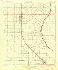
Editions of this 1930 Wasco Map
3 editions found
Other maps of this area

1910 · Buena Vista Lake
USGS Topo · 1:125,000

1912 · Buena Vista Lake
USGS Topo · 1:125,000

1927 · McFarland
USGS Topo · 1:31,680

1930 · McFarland
USGS Topo · 1:31,680

1930 · Leonards
USGS Topo · 1:31,680

1930 · Hamlin School
USGS Topo · 1:31,680

1930 · Pond
USGS Topo · 1:31,680

1930 · Famoso
USGS Topo · 1:31,680

1930 · Rosedale
USGS Topo · 1:31,680

1931 · Rio Bravo
USGS Topo · 1:31,680