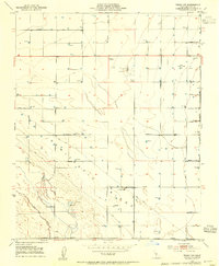
1953 Map of Wasco SW
USGS Topo · Published 1954About this map
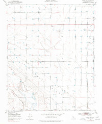
Wasco Oil Field and its surrounding agricultural infrastructure dominate this 1953 landscape in the southern San Joaquin Valley. The map captures a moment when the petroleum industry and large-scale ranching shaped Kern County, evidenced by numerous oil wells, a dedicated Oil Pumping Plant, and the Semitropic Substation. The terrain is defined by the subtle elevation of the Semitropic Ridge, which rises above the surrounding flatlands and the low-lying Jerry Slough. To the south, the Goose Lake Ranch sits near complex water management features including a Levee, Duck Ponds, and a local Gun Club. The grid of early roads, including Merced Avenue and the Lerdo Highway, illustrates the systematic development of the region's ranching and oil economy. A small Cem (cemetery) located near Gromer Ave and Leonard Ave provides a specific point of interest for family historians tracing early residents of this industrial and agricultural corridor.
Find a feature on this map
44 named features on this map. Tap any name to fly to it.
Don’t see what you’re looking for? This feature index may not catch every label — zoom into the map to look around manually.
Map Details
Editions of this 1953 Wasco SW Map
2 editions found
Other maps of this area

1910 · Buena Vista Lake
USGS Topo · 1:125,000

1912 · McKittrick
USGS Topo · 1:125,000

1912 · Buena Vista Lake
USGS Topo · 1:125,000

1914 · Lost Hills
USGS Topo · 1:125,000

1927 · Semitropic
USGS Topo · 1:31,680

1930 · Leonards
USGS Topo · 1:31,680

1930 · Hamlin School
USGS Topo · 1:31,680

1930 · Wasco
USGS Topo · 1:31,680

1930 · Pond
USGS Topo · 1:31,680

1930 · Miramonte Ranch
USGS Topo · 1:31,680