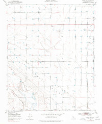
1953 Map of Wasco SW
USGS Topo · Published 1977About this map
Wasco Oil Field and the surrounding agricultural grid of western Kern County dominate this 1953 landscape, reflecting an era of intense resource extraction and land management. The terrain is defined by the prominent Semitropic Ridge, which runs northwest to southeast, separating the organized farm plots from the more natural drainage patterns of Jerry Slough. This slough area, including Goose Lake Ranch, shows a concentration of seasonal features like Duck Ponds and a Gun Club, suggesting the region's importance for local recreation and waterfowl habitat during this period. The map also documents essential early utility infrastructure, such as the Semitropic Substation, an Oil Pumping Plant, and several scattered oil wells, illustrating the industrial backbone required to support both the petroleum industry and the large-scale irrigation of the Central Valley.
Find a feature on this map
31 named features on this map. Tap any name to fly to it.
Don’t see what you’re looking for? This feature index may not catch every label — zoom into the map to look around manually.
Map Details
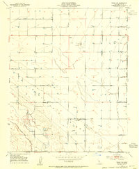
Editions of this 1953 Wasco SW Map
2 editions found
Other maps of this area

1910 · Buena Vista Lake
USGS Topo · 1:125,000

1912 · McKittrick
USGS Topo · 1:125,000

1912 · Buena Vista Lake
USGS Topo · 1:125,000

1914 · Lost Hills
USGS Topo · 1:125,000

1927 · Semitropic
USGS Topo · 1:31,680

1930 · Leonards
USGS Topo · 1:31,680

1930 · Hamlin School
USGS Topo · 1:31,680

1930 · Wasco
USGS Topo · 1:31,680

1930 · Pond
USGS Topo · 1:31,680

1930 · Miramonte Ranch
USGS Topo · 1:31,680