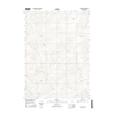
2015 Map of Washakie Park
USGS Topo · Published 2015About this map
Washakie Park sits at the heart of this high-elevation terrain in the Wind River Range, where the complex drainage systems of the N Fork Little Wind River and S Fork Little Wind River originate. The landscape is defined by massive peaks like Mt Shoshone and Mt Baldy, which overlook several alpine water bodies including Shoshone Lake and the Twin Lakes. These remote high-country features are connected by seasonal routes over landmarks such as Tepee Pass. The mapping shows the intricate network of creeks, such as Washakie Cr and Marys Cr, that feed the larger river systems below. This contemporary survey captures the area’s hydrography in detail, identifying specific water sources like Box Spring and the secluded Lost Lake within the mountainous interior of Fremont County.
Find a feature on this map
23 named features on this map. Tap any name to fly to it.
Don’t see what you’re looking for? This feature index may not catch every label — zoom into the map to look around manually.
Map Details
Editions of this 2015 Washakie Park Map
This is the sole edition of this map. No revisions or reprints were ever made.
Other maps of this area

1937 · Moccasin Lake
USGS Topo · 1:48,000

1938 · Mt Bonneville
USGS Topo · 1:62,500

1941 · Mt Bonneville
USGS Topo · 1:62,500

1942 · Mt Bonneville
USGS Topo · 1:62,500

1943 · Moccasin Lake
USGS Topo · 1:62,500

1952 · Wise Flat
USGS Topo · 1:24,000

1952 · Paradise Basin
USGS Topo · 1:24,000

1952 · St. Lawrence Basin
USGS Topo · 1:24,000

1955 · Thermopolis
USGS Topo · 1:250,000

1955 · Lander
USGS Topo · 1:250,000