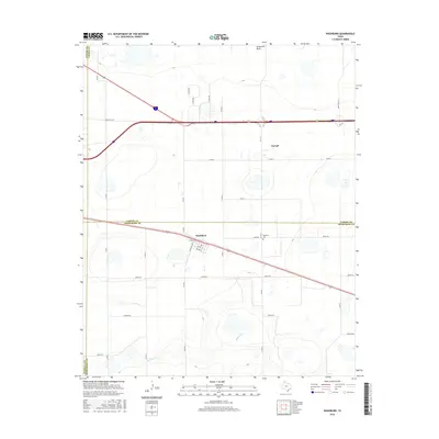
2016 Map of Washburn
USGS Topo · Published 2016About this map
Washburn sits at the junction of several county lines in the Texas Panhandle, anchoring a landscape defined by the intersection of modern interstate travel and traditional ranching roads. The settlement features a localized grid including Lively St, Looney St, and Moore St, while the surrounding plains are marked by the drainage of Mulberry Creek. To the north, the small community of Yarnall lies near the Sevenmile Basin, illustrating the sparse but deliberate distribution of homesteads and shipping points in this high-plains environment.
Find a feature on this map
32 named features on this map. Tap any name to fly to it.
Don’t see what you’re looking for? This feature index may not catch every label — zoom into the map to look around manually.
Map Details
Editions of this 2016 Washburn Map
This is the sole edition of this map. No revisions or reprints were ever made.
Other maps of this area

1953 · Mayer
USGS Topo · 1:24,000

1953 · Sevenmile Basin
USGS Topo · 1:24,000

1954 · Amarillo
USGS Topo · 1:250,000

1956 · Washburn
USGS Topo · 1:24,000

1956 · Thomas Ranch
USGS Topo · 1:24,000

1956 · Pullman
USGS Topo · 1:24,000

1958 · Amarillo
USGS Topo · 1:250,000

1960 · Fairview
USGS Topo · 1:24,000

1960 · Claude
USGS Topo · 1:62,500

1966 · Panhandle West
USGS Topo · 1:24,000