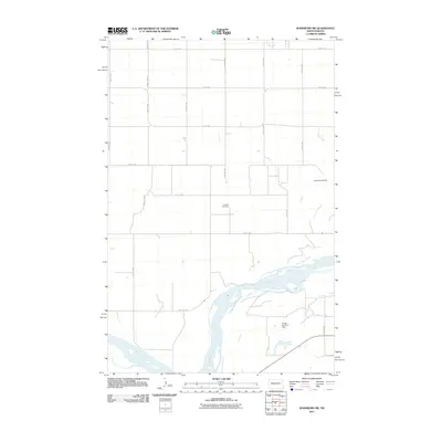
2011 Map of Washburn SW
USGS Topo · Published 2011About this map
The Missouri River carves through the southern landscape of McLean County, shaping the agricultural and industrial character of this region. Near the riverbanks, the Cullen Brothers Dam and the winding path of Coal Lake Coulee reflect a terrain defined by water management and natural drainage. This area, largely structured by a precise grid of rural roads like County Hwy 19 and 3rd St SW, maintains clear markers of its local history and economy. A notable site of industrial heritage is the Black Diamond Mine, located in the eastern portion of the quadrangle, while the Conklin Cemetery stands as a central genealogical landmark for researchers tracing the early families of this prairie community.
Find a feature on this map
20 named features on this map. Tap any name to fly to it.
Don’t see what you’re looking for? This feature index may not catch every label — zoom into the map to look around manually.
Map Details
Editions of this 2011 Washburn SW Map
This is the sole edition of this map. No revisions or reprints were ever made.
Other maps of this area

1948 · Stanton
USGS Topo · 1:62,500

1949 · Stanton
USGS Topo · 1:62,500

1949 · Washburn
USGS Topo · 1:62,500

1954 · McClusky
USGS Topo · 1:250,000

1958 · McClusky
USGS Topo · 1:250,000

1961 · Washburn
USGS Topo · 1:24,000

1961 · Washburn NE
USGS Topo · 1:24,000

1961 · Underwood
USGS Topo · 1:24,000

1967 · Washburn SW
USGS Topo · 1:24,000

1967 · Stanton SE
USGS Topo · 1:24,000