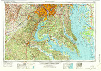
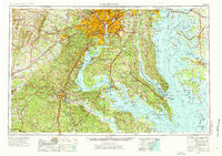
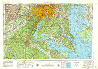
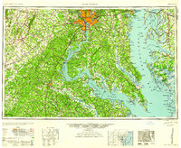
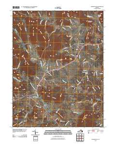
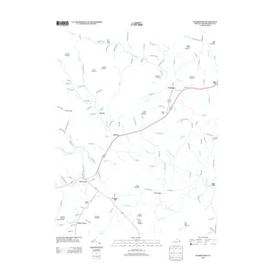
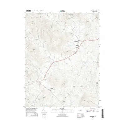
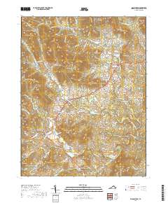
1957 Map of Washington
USGS Topo · Published 1971About this map
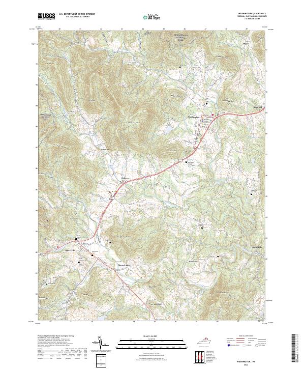
Washington stands as the central hub of this mid-century survey, surrounded by the rapidly expanding suburbs of Arlington, Alexandria, and Bethesda. This regional study illustrates the critical nexus of water and defense in the Mid-Atlantic, highlighting the concentration of federal and military installations like the US Naval Academy in Annapolis and the Quantico Marine Corps Base along the Potomac River. The map details the transition from the metropolitan center to the agrarian Eastern Shore and the rising Blue Ridge to the west.
Find a feature on this map
251 named features on this map. Tap any name to fly to it.
Don’t see what you’re looking for? This feature index may not catch every label — zoom into the map to look around manually.
Map Details
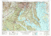
Editions of this 1957 Washington Map
5 editions found

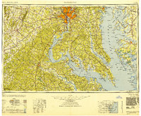
Historical Maps of Washington Through Time
11 maps found
1948 Washington
Rappahannock County, VA
1957 Washington
Rappahannock County, VA
1961 Washington
Rappahannock County, VA
1971 Washington
Rappahannock County, VA

1989 Washington
Rappahannock County, VA
1994 Washington
Rappahannock County, VA
2011 Washington
Rappahannock County, VA
2013 Washington
Rappahannock County, VA
2016 Washington
Rappahannock County, VA
2019 Washington
Rappahannock County, VA
2022 Washington
Rappahannock County, VA