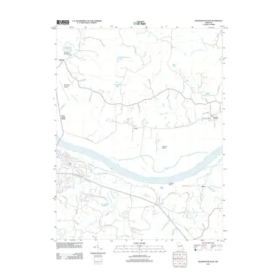
2012 Map of Washington East
USGS Topo · Published 2012About this map
The Missouri River carves a massive southern arc across this landscape, defining the rich alluvial flats of Hancock Bottom and the sharp turn at Hinckley Bend. North of the river, the terrain rises into the hills of St. Charles County, where the historic settlement of Augusta serves as a local hub, complete with its Augusta Post Office. The area is dotted with numerous private lakes and reservoirs, such as Schulthhenrich Lake and Hoblitzell Lake, reflecting a pattern of modern residential and recreational land use superimposed on older agricultural foundations.
Find a feature on this map
85 named features on this map. Tap any name to fly to it.
Don’t see what you’re looking for? This feature index may not catch every label — zoom into the map to look around manually.
Map Details
Editions of this 2012 Washington East Map
This is the sole edition of this map. No revisions or reprints were ever made.
Other maps of this area

1890 · Hermann
USGS Topo · 1:125,000

1901 · De Soto
USGS Topo · 1:125,000

1903 · O'Fallon
USGS Topo · 1:125,000

1903 · Sullivan
USGS Topo · 1:125,000

1946 · Union
USGS Topo · 1:62,500

1947 · St. Clair
USGS Topo · 1:62,500

1948 · Union
USGS Topo · 1:62,500

1948 · Washington
USGS Topo · 1:62,500

1948 · Augusta
USGS Topo · 1:62,500

1949 · Saint Louis
USGS Topo · 1:250,000