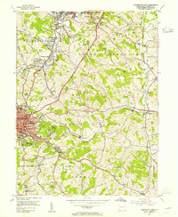
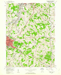
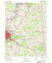
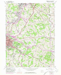
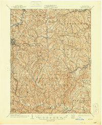
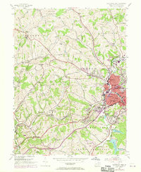
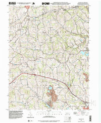
1953 Map of Washington East
USGS Topo · Published 1955This historical map portrays the area of Washington East in 1953, primarily covering Washington. Featuring a scale of 1:24000, this map provides a highly detailed snapshot of the terrain, roads, buildings, counties, and historical landmarks in the Washington East region at the time. Published in 1955, it is one of 5 known editions of this map due to revisions or reprints.
Find a feature on this map
77 named features on this map. Tap any name to fly to it.
Don’t see what you’re looking for? This feature index may not catch every label — zoom into the map to look around manually.
Map Details
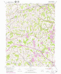
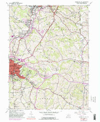
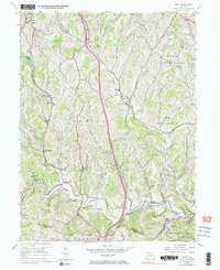
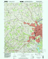
Editions of this 1953 Washington East Map
5 editions found
Historical Maps of Moniger Heights Through Time
11 maps found

1901 Amity
Washington County, PA
1904 Amity
Washington County, PA
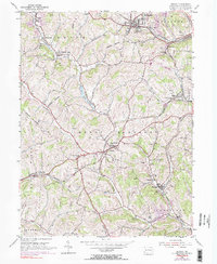
1953 Hackett
Washington County, PA
1953 Washington East
Washington County, PA
1954 Amity
Washington County, PA
1954 Midway
Washington County, PA
1954 Washington West
Washington County, PA
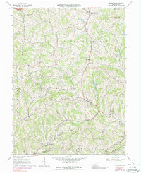
1964 Prosperity
Washington County, PA
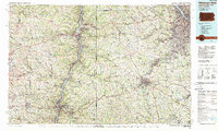
1986 Pittsburgh West
Washington County, PA
1993 Hackett
Washington County, PA
1993 Washington West
Washington County, PA
Featured Locations
- East Washington, PA
- Washington, PA
- South Strabane Township, PA
- Mount Pleasant, South Strabane Township
- McGovern, Chartiers Township