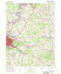
1953 Map of Washington East
USGS Topo · Published 1970About this map
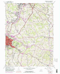
Washington serves as the hub of this Southwestern Pennsylvania landscape, where the 1950s urban core is captured alongside the early development of Boon Terrace and Laboratory. The map illustrates a region in transition, balancing established institutions like Washington and Jefferson College with active industrial activity, including a Strip Mine near McGovern and a Stone Quarry south of Meadow Lands.
Find a feature on this map
77 named features on this map. Tap any name to fly to it.
Don’t see what you’re looking for? This feature index may not catch every label — zoom into the map to look around manually.
Map Details
Editions of this 1953 Washington East Map
5 editions found
Other maps of this area

1901 · Amity
USGS Topo · 1:62,500

1904 · Amity
USGS Topo · 1:62,500

1904 · Carnegie
USGS Topo · 1:62,500

1904 · Burgettstown
USGS Topo · 1:62,500

1906 · Burgettstown
USGS Topo · 1:62,500

1906 · Carnegie
USGS Topo · 1:62,500

1907 · Claysville
USGS Topo · 1:62,500

1908 · Carnegie
USGS Topo · 1:62,500

1951 · Canton
USGS Topo · 1:250,000

1953 · Canton
USGS Topo · 1:250,000
Featured Places
- Washington, PA
- South Strabane Township, PA
- Mount Pleasant, South Strabane Township
- McGovern, Chartiers Township
- East Washington, PA