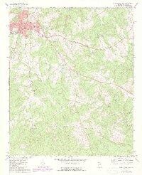
1972 Map of Washington East
USGS Topo · Published 1987About this map
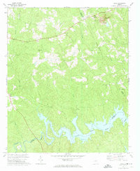
Washington serves as the focal point of this Wilkes County landscape, showing its transition from a structured municipal center to the rural agricultural lands of East Georgia during the early 1970s. The town core is dense with civic landmarks, including the City Hall, Museum, and Armory, while the surrounding countryside is defined by a high concentration of community churches. From the New Hope Ch in the north to Macedonia Ch and Bethlehem Ch in the south, these spiritual centers appear alongside family-named settlements like Logan and Lundberg.
Find a feature on this map
27 named features on this map. Tap any name to fly to it.
Don’t see what you’re looking for? This feature index may not catch every label — zoom into the map to look around manually.
Map Details
Editions of this 1972 Washington East Map
2 editions found
Other maps of this area

1906 · Crawfordville
USGS Topo · 1:125,000

1953 · Athens
USGS Topo · 1:250,000

1954 · Metasville
USGS Topo · 1:24,000

1955 · Tignall
USGS Topo · 1:24,000

1958 · Athens
USGS Topo · 1:250,000

1959 · Athens
USGS Topo · 1:250,000

1963 · Athens
USGS Topo · 1:250,000
1971 · Celeste
USGS Topo · 1:24,000
1972 · Wrightsboro
USGS Topo · 1:24,000
1972 · Aonia
USGS Topo · 1:24,000