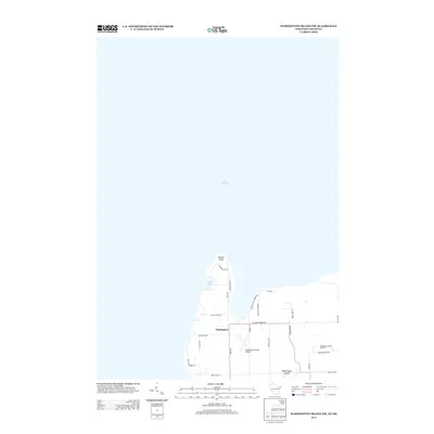
2013 Map of Washington Island NW
USGS Topo · Published 2013About this map
Lake Michigan surrounds the northern reaches of Washington Island, where the land terminates at the prominent Bowyer Bluff. This survey illustrates the northwestern corner of the island as it functioned in the early twenty-first century, featuring a network of local roads named for prominent families and island geography. Inland, Little Lake sits just south of the bluff, while the settlement of Washington serves as a central point for island navigation. The map documents the infrastructure required for island life, including the Washington Island Airport and the Washington Island Landfill. Roadways such as Gasoline Town Rd and Gunnlaugsson Rd provide insight into the localized naming conventions and property boundaries that characterize this remote Wisconsin community.
Find a feature on this map
26 named features on this map. Tap any name to fly to it.
Don’t see what you’re looking for? This feature index may not catch every label — zoom into the map to look around manually.
Map Details
Editions of this 2013 Washington Island NW Map
This is the sole edition of this map. No revisions or reprints were ever made.
Other maps of this area

1954 · Escanaba
USGS Topo · 1:250,000

1957 · Escanaba
USGS Topo · 1:250,000

1958 · Escanaba
USGS Topo · 1:250,000

1958 · Escanaba
USGS Topo · 1:62,500

1958 · Peninsula Point
USGS Topo · 1:62,500

1960 · Washington Island
USGS Topo · 1:62,500

1960 · Ellison Bay
USGS Topo · 1:62,500

1981 · Marinette
USGS Topo · 1:100,000

1982 · Washington Island SE
USGS Topo · 1:24,000

1982 · Washington Island NW
USGS Topo · 1:24,000