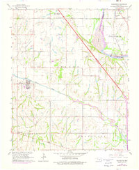
1965 Map of Washington
USGS Topo · Published 1975About this map
Washington serves as a central hub in this mid-century survey of the McClain County landscape, where the agricultural flats are increasingly defined by energy extraction and infrastructure. The topography is marked by the East Washington Oil Field and the South Noble Oil Field, indicating the mid-1960s importance of petroleum to the local economy. Significant water features like the Canadian River and Walnut Creek carve through the terrain, providing natural boundaries and drainage for the surrounding farms. Local life is anchored by community landmarks such as Woody Chapel, Union Hill Ch, and the Washington Cem. The presence of the Atchison Topeka and Santa Fe railroad line near Lexington and Noble highlights the established transportation corridors that connected these Oklahoma settlements to larger markets.
Find a feature on this map
30 named features on this map. Tap any name to fly to it.
Don’t see what you’re looking for? This feature index may not catch every label — zoom into the map to look around manually.
Map Details
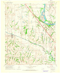
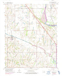
Editions of this 1965 Washington Map
3 editions found
Other maps of this area

1893 · Norman
USGS Topo · 1:62,500

1898 · Purcell
USGS Topo · 1:125,000

1898 · Pauls Valley
USGS Topo · 1:125,000

1902 · Pauls Valley
USGS Topo · 1:125,000

1902 · Rush Springs
USGS Topo · 1:125,000

1904 · Chickasha
USGS Topo · 1:125,000

1925 · Norman NO 2
USGS Topo · 1:24,000

1936 · Norman
USGS Topo · 1:62,500

1954 · Oklahoma City
USGS Topo · 1:250,000

1957 · Ardmore
USGS Topo · 1:250,000