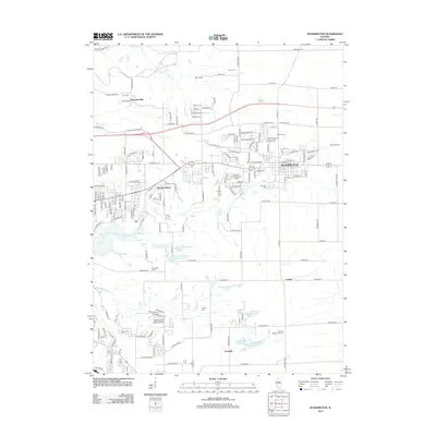
2012 Map of Washington
USGS Topo · Published 2012About this map
Washington serves as the central hub of this Tazewell County landscape, characterized by a mix of established residential neighborhoods and a sprawling network of creeks and ponds. Small communities and subdivisions such as Harvard Hills and Beverly Manor appear alongside industrial and transportation markers like Pekin Junction. The hydrology is particularly dense, with Farm Cr and Spring Cr cutting through the terrain, while man-made features like Libbys Lagoon Number 4 and Libbys Lagoon Number 2 indicate local industry or land management south of the main settlement.
Find a feature on this map
178 named features on this map. Tap any name to fly to it.
Don’t see what you’re looking for? This feature index may not catch every label — zoom into the map to look around manually.
Map Details
Editions of this 2012 Washington Map
This is the sole edition of this map. No revisions or reprints were ever made.
Other maps of this area

1893 · Metamora
USGS Topo · 1:62,500

1893 · Dunlap
USGS Topo · 1:62,500

1898 · Dunlap
USGS Topo · 1:62,500

1905 · Peoria
USGS Topo · 1:62,500

1927 · Peoria
USGS Topo · 1:62,500

1928 · Mackinaw
USGS Topo · 1:62,500

1932 · Mackinaw
USGS Topo · 1:62,500

1932 · Dunlap
USGS Topo · 1:62,500

1933 · Dunlap
USGS Topo · 1:62,500

1937 · Metamora
USGS Topo · 1:62,500