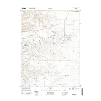
2015 Map of Washington
USGS Topo · Published 2015About this map
Washington and the surrounding heights of East Peoria define this portion of the Tazewell County landscape, where suburban expansion meets the deeply etched drainage of the Illinois River valley. The terrain is characterized by the complex ravines of Tenmile Cr and Farm Cr, which create a sharp contrast to the more level plateaus occupied by Morton and Crandall. This area preserves several significant local historical sites, including Holland's Grove Cem and Zion Lutheran Cem, which stand as markers of early settlement patterns in the region.
Find a feature on this map
167 named features on this map. Tap any name to fly to it.
Don’t see what you’re looking for? This feature index may not catch every label — zoom into the map to look around manually.
Map Details
Editions of this 2015 Washington Map
This is the sole edition of this map. No revisions or reprints were ever made.
Other maps of this area

1893 · Metamora
USGS Topo · 1:62,500

1893 · Dunlap
USGS Topo · 1:62,500

1898 · Dunlap
USGS Topo · 1:62,500

1905 · Peoria
USGS Topo · 1:62,500

1927 · Peoria
USGS Topo · 1:62,500

1928 · Mackinaw
USGS Topo · 1:62,500

1932 · Mackinaw
USGS Topo · 1:62,500

1932 · Dunlap
USGS Topo · 1:62,500

1933 · Dunlap
USGS Topo · 1:62,500

1937 · Metamora
USGS Topo · 1:62,500