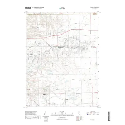
2018 Map of Washington
USGS Topo · Published 2018About this map
Washington and Morton serve as the primary anchors in this landscape of residential expansion and suburban integration. The area is defined by a series of distinct developments such as Harvard Hills and Beverly Manor, situated alongside established corridors like the Co Rd 2700 N. Genealogists will find a significant concentration of burial grounds, ranging from larger sites like Hillcrest Memory Garden and Glendale Cem to smaller family or community plots such as Ficht Cem, Union Cem, and the Zion Lutheran Cem.
Find a feature on this map
46 named features on this map. Tap any name to fly to it.
Don’t see what you’re looking for? This feature index may not catch every label — zoom into the map to look around manually.
Map Details
Editions of this 2018 Washington Map
This is the sole edition of this map. No revisions or reprints were ever made.
Other maps of this area

1893 · Metamora
USGS Topo · 1:62,500

1893 · Dunlap
USGS Topo · 1:62,500

1898 · Dunlap
USGS Topo · 1:62,500

1905 · Peoria
USGS Topo · 1:62,500

1927 · Peoria
USGS Topo · 1:62,500

1928 · Mackinaw
USGS Topo · 1:62,500

1932 · Mackinaw
USGS Topo · 1:62,500

1932 · Dunlap
USGS Topo · 1:62,500

1933 · Dunlap
USGS Topo · 1:62,500

1937 · Metamora
USGS Topo · 1:62,500