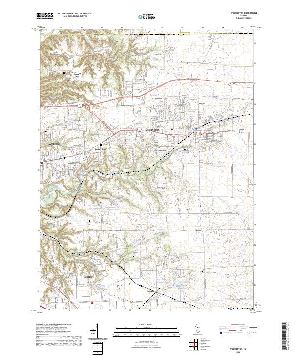
2024 Map of Washington
USGS Topo · Published 2024About this map
Washington and Morton anchor this landscape where residential growth meets the agricultural heritage of Central Illinois. The area is defined by the winding course of Farm Creek and Ackerman Creek, which carve through the terrain between established neighborhoods and outlying rural tracts. The map reveals a dense network of local history through its many cemeteries, such as Hollands Grove Cem and Hirstein Cem, which speak to the long-standing community roots in Tazewell Co.
Find a feature on this map
78 named features on this map. Tap any name to fly to it.
Don’t see what you’re looking for? This feature index may not catch every label — zoom into the map to look around manually.
Map Details
Editions of this 2024 Washington Map
This is the sole edition of this map. No revisions or reprints were ever made.
Other maps of this area

1893 · Metamora
USGS Topo · 1:62,500

1893 · Dunlap
USGS Topo · 1:62,500

1898 · Dunlap
USGS Topo · 1:62,500

1905 · Peoria
USGS Topo · 1:62,500

1927 · Peoria
USGS Topo · 1:62,500

1928 · Mackinaw
USGS Topo · 1:62,500

1932 · Mackinaw
USGS Topo · 1:62,500

1932 · Dunlap
USGS Topo · 1:62,500

1933 · Dunlap
USGS Topo · 1:62,500

1937 · Metamora
USGS Topo · 1:62,500