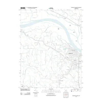
2012 Map of Washington West
USGS Topo · Published 2012About this map
Missouri River currents dominate the northern landscape of this region, shaping several prominent landforms including Saint Johns Island, Miller Island, and Watkins Island. The city of Washington serves as the primary hub, where local infrastructure is marked by landmarks such as the Washington Main Post Office and the Washington Water Tower. South of the river, the terrain is defined by the winding paths of Saint Johns Creek and Busch Creek, which drain the undulating countryside near the communities of Fourmile Corner and Clover Bottom.
Find a feature on this map
77 named features on this map. Tap any name to fly to it.
Don’t see what you’re looking for? This feature index may not catch every label — zoom into the map to look around manually.
Map Details
Editions of this 2012 Washington West Map
This is the sole edition of this map. No revisions or reprints were ever made.
Other maps of this area

1890 · Hermann
USGS Topo · 1:125,000

1901 · De Soto
USGS Topo · 1:125,000

1903 · O'Fallon
USGS Topo · 1:125,000

1903 · Sullivan
USGS Topo · 1:125,000

1946 · Union
USGS Topo · 1:62,500

1947 · St. Clair
USGS Topo · 1:62,500

1948 · Union
USGS Topo · 1:62,500

1948 · Washington
USGS Topo · 1:62,500

1948 · Augusta
USGS Topo · 1:62,500

1949 · Saint Louis
USGS Topo · 1:250,000