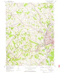
1954 Map of Washington West
USGS Topo · Published 1966About this map
Washington County's industrial and agricultural character is on full display in the mid-1950s, centering on the western outskirts of Washington. The landscape is a network of ridges and runs, defined by the winding course of Chartiers Creek and the steel rails of the Pennsylvania and Baltimore And Ohio railroads. Heavy industry and community life intersect at Arden Mines, while the city's growth is evidenced by several educational institutions like the Seventh Ward Sch and the nearby Washington County Airport.
Find a feature on this map
67 named features on this map. Tap any name to fly to it.
Don’t see what you’re looking for? This feature index may not catch every label — zoom into the map to look around manually.
Map Details
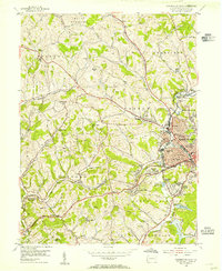
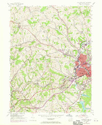
Editions of this 1954 Washington West Map
3 editions found
Other maps of this area

1901 · Amity
USGS Topo · 1:62,500

1904 · Amity
USGS Topo · 1:62,500

1904 · Carnegie
USGS Topo · 1:62,500

1904 · Burgettstown
USGS Topo · 1:62,500

1906 · Burgettstown
USGS Topo · 1:62,500

1906 · Carnegie
USGS Topo · 1:62,500

1907 · Claysville
USGS Topo · 1:62,500

1908 · Carnegie
USGS Topo · 1:62,500

1951 · Canton
USGS Topo · 1:250,000

1953 · Canton
USGS Topo · 1:250,000
Featured Places
- Washington, PA
- South Strabane Township, PA
- Buffalo, Hopewell Township
- Chartiers Township, PA
- Wolfdale, Canton Township