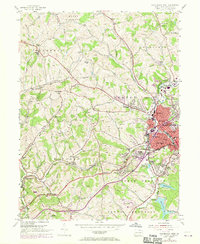
1954 Map of Washington West
USGS Topo · Published 1970About this map
Washington emerges as a dense industrial and transit hub in this mid-century survey, flanked by the sprawling residential and commercial districts of Tylerdale and Gabby Heights. The landscape reflects a complex transition between urban infrastructure and the surrounding rural townships, where the Baltimore and Ohio railroad corridor anchors heavy industrial activity near the Arden Mines and a large Sewage Disposal plant. This era of development is marked by significant institutional presence, ranging from the Childrens Home and County Home near Arden to the civic core's numerous ward schools like Seventh Ward Sch.
Find a feature on this map
68 named features on this map. Tap any name to fly to it.
Don’t see what you’re looking for? This feature index may not catch every label — zoom into the map to look around manually.
Map Details
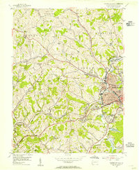
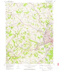
Editions of this 1954 Washington West Map
3 editions found
Other maps of this area

1901 · Amity
USGS Topo · 1:62,500

1904 · Amity
USGS Topo · 1:62,500

1904 · Carnegie
USGS Topo · 1:62,500

1904 · Burgettstown
USGS Topo · 1:62,500

1906 · Burgettstown
USGS Topo · 1:62,500

1906 · Carnegie
USGS Topo · 1:62,500

1907 · Claysville
USGS Topo · 1:62,500

1908 · Carnegie
USGS Topo · 1:62,500

1951 · Canton
USGS Topo · 1:250,000

1953 · Canton
USGS Topo · 1:250,000
Featured Places
- Washington, PA
- South Strabane Township, PA
- Buffalo, Hopewell Township
- Chartiers Township, PA
- Wolfdale, Canton Township