Loading...
Loading map...2021 Map of Wasola
USGS Topo · Published 2021About this map
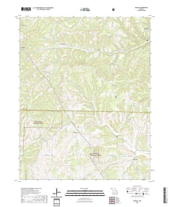
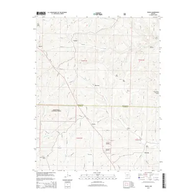
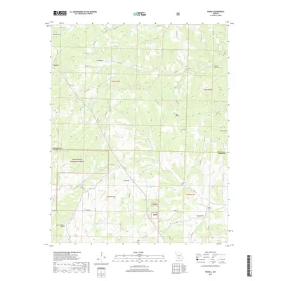
Wasola and its surrounding Ozark highlands are defined by a complex network of ridges and hollows that cross the boundary between Douglas and Ozark counties. Significant parcels of the Mark Twain National Forest protect these steep drainage basins, which feed various branches of Rippee Cr and Spring Cr. The settlement pattern follows the high ground, with communities like Squires, Girdner, and Almartha established along the winding paths of state highways and county roads.
Find a feature on this map
67 named features on this map. Tap any name to fly to it.
Don’t see what you’re looking for? This feature index may not catch every label — zoom into the map to look around manually.
Map Details
Date Portrayed2021
Date Published2021
PublisherU.S. Geological Survey
Map TypeTopographic
Scale1:24,000
Physical Dimensions24 x 29 inches
Editions of this 2021 Wasola Map
This is the sole edition of this map. No revisions or reprints were ever made.
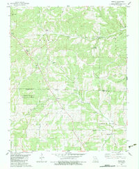
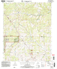
Historical Maps of Almartha Through Time
6 maps found
Featured Locations
Source Details
SourceU.S. Geological Survey
CopyrightPublic Domain