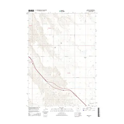
2015 Map of Wasta SE
USGS Topo · Published 2015About this map
The community of Wall and the surrounding Pennington County prairie are defined by a complex network of dry draws and seasonal watercourses. The most prominent terrain features include the elevation of Cedar Butte and the erosion patterns of Cedar Canyon and Seventysix Draw, which reveal the underlying geography of the region. The intermittent flow of Bull Cr winds through the landscape, cutting across township lines and section corners in a classic Great Plains drainage pattern.
Find a feature on this map
24 named features on this map. Tap any name to fly to it.
Don’t see what you’re looking for? This feature index may not catch every label — zoom into the map to look around manually.
Map Details
Editions of this 2015 Wasta SE Map
This is the sole edition of this map. No revisions or reprints were ever made.
Other maps of this area

1953 · Rapid City
USGS Topo · 1:250,000

1954 · Wasta NE
USGS Topo · 1:24,000

1954 · Wasta SE
USGS Topo · 1:24,000

1954 · Wasta
USGS Topo · 1:24,000

1954 · Wasta NW
USGS Topo · 1:24,000

1954 · Quinn Table
USGS Topo · 1:24,000

1955 · Hot Springs
USGS Topo · 1:250,000

1957 · Rapid City
USGS Topo · 1:250,000

1960 · Quinn Table NE
USGS Topo · 1:24,000

1960 · Wall
USGS Topo · 1:24,000