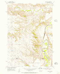
1954 Map of Wasta NW
USGS Topo · Published 1956About this map
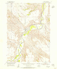
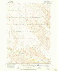
The Cheyenne River winds through this mid-century Dakota landscape, forming a natural boundary between Meade and Pennington Counties. This 1954 field-checked survey depicts a sparsely settled ranching region characterized by extensive drainage systems and draws. Along the river’s western banks, the Sunnyside area sits below the dissected bluffs, while the upland plains are dotted with essential frontier infrastructure such as a lone Windmill and the rural Power Sch. The map reveals the intricate network of seasonal waterways feeding the river system, including Elk Creek, Alkali Creek, and Bull Cr. Significant geographical features like Telegraph Draw, Fivemile Draw, and the curiously labeled Shyne terrain highlight the distinct local naming conventions of the Missouri River Basin development era.
Find a feature on this map
11 named features on this map. Tap any name to fly to it.
Don’t see what you’re looking for? This feature index may not catch every label — zoom into the map to look around manually.
Map Details
Editions of this 1954 Wasta NW Map
2 editions found

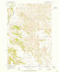
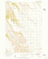
Other maps of this area

1953 · Rapid City
USGS Topo · 1:250,000
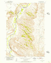
1954 · Dalzell SE
USGS Topo · 1:24,000
1954 · Wasta NE
USGS Topo · 1:24,000
1954 · Wasta SE
USGS Topo · 1:24,000

1954 · Dalzell
USGS Topo · 1:24,000
1954 · Wasta
USGS Topo · 1:24,000
1954 · Owanka
USGS Topo · 1:24,000

1954 · Elm Springs
USGS Topo · 1:24,000

1957 · Rapid City
USGS Topo · 1:250,000

1957 · Owanka NE
USGS Topo · 1:24,000