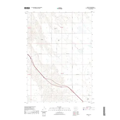
2017 Map of Wasta SE
USGS Topo · Published 2017About this map
Cedar Butte and the surrounding badlands of Pennington County define this landscape of deep drainages and cattle country. Located just southeast of the town of Wall, the area is characterized by the winding path of Bull Cr and the more linear Crooked Cr in the southwest corner. The map illustrates a rural transportation network where modern thoroughfares like Hwy 1416 intersect with established local routes such as Anderson Hill Rd and Cedar Butte Rd.
Find a feature on this map
23 named features on this map. Tap any name to fly to it.
Don’t see what you’re looking for? This feature index may not catch every label — zoom into the map to look around manually.
Map Details
Editions of this 2017 Wasta SE Map
This is the sole edition of this map. No revisions or reprints were ever made.
Other maps of this area

1953 · Rapid City
USGS Topo · 1:250,000

1954 · Wasta NE
USGS Topo · 1:24,000

1954 · Wasta SE
USGS Topo · 1:24,000

1954 · Wasta
USGS Topo · 1:24,000

1954 · Wasta NW
USGS Topo · 1:24,000

1954 · Quinn Table
USGS Topo · 1:24,000

1955 · Hot Springs
USGS Topo · 1:250,000

1957 · Rapid City
USGS Topo · 1:250,000

1960 · Quinn Table NE
USGS Topo · 1:24,000

1960 · Wall
USGS Topo · 1:24,000