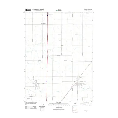
2012 Map of Wataga
USGS Topo · Published 2012About this map
Wataga and Henderson anchor this portion of the Knox County prairie, showing the organized grid of rural Illinois as it appeared in the early 21st century. The landscape is defined by the headwaters and branches of Henderson Cr, including N Cr and S Henderson Cr, which cut through the agricultural tableland. This area is notably dense with small family and community burial grounds, preserving local heritage at sites such as Bruner Cem, Robbins Cem, Junk Cem, and the uniquely named Galesburg Research Cem. The small settlement of Ontario sits at the intersection of Knox Hwy 36 and Knox Road 700 E, while the presence of the Johnson Landing Strip to the north indicates the continued importance of private aviation in the rural Midwest.
Find a feature on this map
59 named features on this map. Tap any name to fly to it.
Don’t see what you’re looking for? This feature index may not catch every label — zoom into the map to look around manually.
Map Details
Editions of this 2012 Wataga Map
This is the sole edition of this map. No revisions or reprints were ever made.
Other maps of this area

1925 · Galesburg
USGS Topo · 1:62,500

1927 · Galesburg
USGS Topo · 1:62,500

1931 · Galva
USGS Topo · 1:48,000

1940 · Galva
USGS Topo · 1:62,500

1941 · Maquon
USGS Topo · 1:62,500

1943 · Maquon
USGS Topo · 1:62,500

1944 · Galva
USGS Topo · 1:62,500

1947 · Woodhull
USGS Topo · 1:62,500

1953 · Nekoma
USGS Topo · 1:24,000

1953 · Woodhull
USGS Topo · 1:24,000