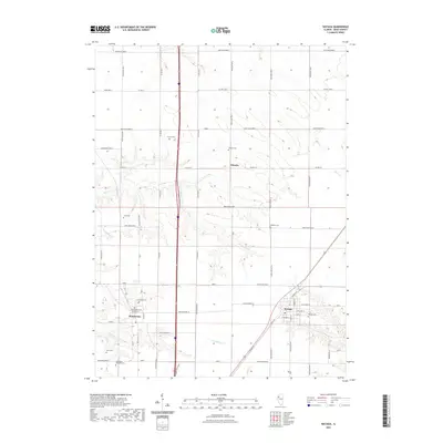
2021 Map of Wataga
USGS Topo · Published 2021About this map
The village of Wataga and the surrounding prairie landscape of Knox County are defined by a strictly surveyed grid of county roads and numerous small burial grounds that mark the heritage of the region. This modern survey captures the enduring settlement patterns of Ontario and Henderson, where the street layout in the latter includes E Washington St and local connections to Co Hwy 37. The terrain is etched by the meandering courses of Henderson Cr and its tributaries, including Pennington Cr and Middle Cr, which break the regularity of the agricultural sections. For genealogists, the map is particularly valuable for its precise location of isolated family and community plots such as Bruner Cem, Junk Cem, and the uniquely named Galesburg Research Cem. These landmarks, along with the thoroughfare of Knox Highway 37, illustrate the continued integration of historic rural hamlets within the modern transport network.
Find a feature on this map
37 named features on this map. Tap any name to fly to it.
Don’t see what you’re looking for? This feature index may not catch every label — zoom into the map to look around manually.
Map Details
Editions of this 2021 Wataga Map
This is the sole edition of this map. No revisions or reprints were ever made.
Other maps of this area

1925 · Galesburg
USGS Topo · 1:62,500

1927 · Galesburg
USGS Topo · 1:62,500

1931 · Galva
USGS Topo · 1:48,000

1940 · Galva
USGS Topo · 1:62,500

1941 · Maquon
USGS Topo · 1:62,500

1943 · Maquon
USGS Topo · 1:62,500

1944 · Galva
USGS Topo · 1:62,500

1947 · Woodhull
USGS Topo · 1:62,500

1953 · Nekoma
USGS Topo · 1:24,000

1953 · Woodhull
USGS Topo · 1:24,000