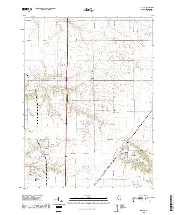
2024 Map of Wataga
USGS Topo · Published 2024About this map
Wataga and its surrounding prairie landscapes in Knox County are defined by a network of drainage systems and family burial grounds that trace the area’s agricultural heritage. The village itself shows a concentrated grid of streets, including W Miners St and E Coal St, hinting at the region's historical ties to resource extraction. To the west, the community of Henderson sits near the headwaters of South Henderson Creek, while Ontario remains a distinct point of interest to the north.
Find a feature on this map
36 named features on this map. Tap any name to fly to it.
Don’t see what you’re looking for? This feature index may not catch every label — zoom into the map to look around manually.
Map Details
Editions of this 2024 Wataga Map
This is the sole edition of this map. No revisions or reprints were ever made.
Other maps of this area

1925 · Galesburg
USGS Topo · 1:62,500

1927 · Galesburg
USGS Topo · 1:62,500

1931 · Galva
USGS Topo · 1:48,000

1940 · Galva
USGS Topo · 1:62,500

1941 · Maquon
USGS Topo · 1:62,500

1943 · Maquon
USGS Topo · 1:62,500

1944 · Galva
USGS Topo · 1:62,500

1947 · Woodhull
USGS Topo · 1:62,500

1953 · Nekoma
USGS Topo · 1:24,000

1953 · Woodhull
USGS Topo · 1:24,000