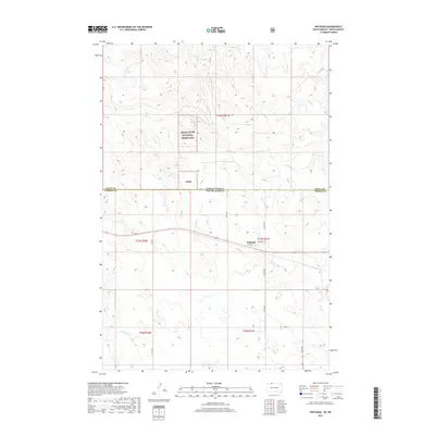
2017 Map of Watauga
USGS Topo · Published 2017About this map
Watauga stands as the primary settlement on this High Plains landscape, situated along a network of local roads such as 2nd St and Cemetary St. The area is defined by its administrative and natural boundaries, most notably the division between North Dakota and South Dakota, as well as the border between Sioux and Corson counties. The northern portion of the map is characterized by the expansive Cedar River National Grassland, also noted by the acronym Crng. The terrain is drained by several seasonal waterways, including Timber Cr, Hump Cr, and Red Willow Cr, which carve through the prairie. This survey details the intersection of early section-line roads like 101 St and Country Rd, illustrating the enduring grid system that governs the ranching and agricultural lands of the Dakotas.
Find a feature on this map
23 named features on this map. Tap any name to fly to it.
Don’t see what you’re looking for? This feature index may not catch every label — zoom into the map to look around manually.
Map Details
Editions of this 2017 Watauga Map
This is the sole edition of this map. No revisions or reprints were ever made.
Other maps of this area

1953 · McIntosh
USGS Topo · 1:250,000

1954 · Bismarck
USGS Topo · 1:250,000

1958 · Bismarck
USGS Topo · 1:250,000

1958 · McIntosh
USGS Topo · 1:250,000

1971 · Lookout Butte
USGS Topo · 1:24,000

1972 · McIntosh SW
USGS Topo · 1:24,000

1972 · Morristown
USGS Topo · 1:24,000

1972 · Morristown SE
USGS Topo · 1:24,000

1972 · Skull Butte
USGS Topo · 1:24,000

1972 · Watauga
USGS Topo · 1:24,000
Featured Places
- Watauga, Rock Creek District
- Porcupine District, ND
- Rock Creek District, SD
- Sioux County, ND
- Corson County, SD