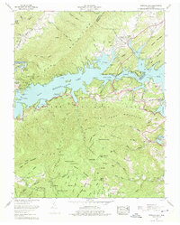
1960 Map of Watauga Dam
USGS Topo · Published 1975About this map
Watauga Lake dominates the landscape of this 1960 revision, its waters filling the deep valleys between the Iron Mountains and Pond Mountain. The map illustrates the profound transformation of the region following the construction of the Watauga Dam, featuring the relocated settlement of Butler and the Butler Memorial Bridge spanning the reservoir. The rugged topography of the Cherokee National Forest is detailed with numerous gaps and ridges, including Maple Springs Gap and Mays Ridge. Local history is preserved through a dense network of family cemeteries like Matherly Cem and Wagner Cem, alongside rural social hubs such as Watauga School and Elk River Church. The iconic Appalachian Trail winds along the western ridges, providing a recreation-oriented contrast to the scattered industrial activity of a northern strip mine.
Find a feature on this map
102 named features on this map. Tap any name to fly to it.
Don’t see what you’re looking for? This feature index may not catch every label — zoom into the map to look around manually.
Map Details
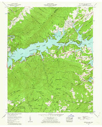
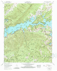
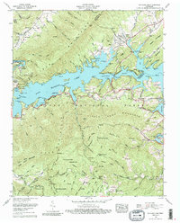
Editions of this 1960 Watauga Dam Map
4 editions found
Other maps of this area

1891 · Roan Mountain
USGS Topo · 1:125,000

1893 · Cranberry
USGS Topo · 1:125,000

1894 · Roan Mountain
USGS Topo · 1:125,000

1895 · Cranberry
USGS Topo · 1:125,000

1899 · Cranberry
USGS Topo · 1:125,000

1902 · Cranberry
USGS Topo · 1:125,000

1904 · Roan Mountain
USGS Topo · 1:125,000

1934 · White Rocks Mtn
USGS Topo · 1:24,000

1934 · Iron Mtn Gap
USGS Topo · 1:24,000

1934 · Elk Park
USGS Topo · 1:24,000