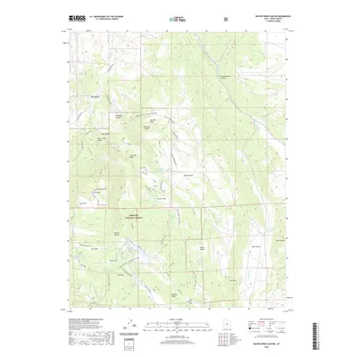
2020 Map of Water Creek Canyon
USGS Topo · Published 2020About this map
Fishlake National Forest encompasses the high-elevation terrain shown in this Sevier County survey, centered on the prominent peak of Cove Mtn. The landscape is defined by a series of flats and meadows, including Saul Meadow, Circle Flat, and East Hunter Flat, which indicate the pastoral character of this mountain range. Water management is a central theme, evidenced by several high-country catchments such as Davis Hollow Reservoir and Annabella Reservoir, along with smaller natural features like Annabella Deep Lake and Big Lake.
Find a feature on this map
65 named features on this map. Tap any name to fly to it.
Don’t see what you’re looking for? This feature index may not catch every label — zoom into the map to look around manually.
Map Details
Editions of this 2020 Water Creek Canyon Map
This is the sole edition of this map. No revisions or reprints were ever made.
Other maps of this area

1885 · Beaver
USGS Topo · 1:250,000

1885 · Fish Lake
USGS Topo · 1:250,000

1896 · Fish Lake
USGS Topo · 1:250,000

1940 · Monroe
USGS Topo · 1:62,500

1944 · Monroe
USGS Topo · 1:62,500

1953 · Richfield
USGS Topo · 1:250,000

1956 · Salina
USGS Topo · 1:250,000

1958 · Richfield
USGS Topo · 1:250,000

1960 · Salina
USGS Topo · 1:250,000

1961 · Richfield
USGS Topo · 1:62,500