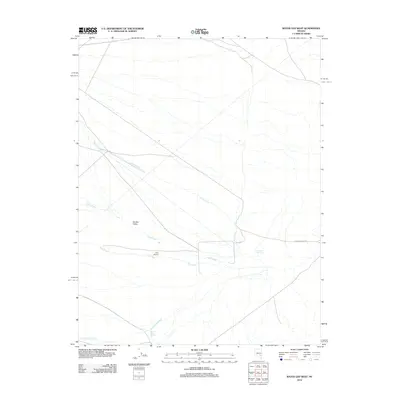
2012 Map of Water Gap West
USGS Topo · Published 2012About this map
Garden Valley in Nye County defines this landscape of desert basins and drainage networks as it appeared in the early 21st century. The map centers on the small Civa Airport, a remote landing strip situated near the confluence of several seasonal watercourses. The hydrology of the region is characterized by ephemeral streams, including Cherry Creek, Sand Creek, and Pine Creek, which flow toward the southern valley floor. Water management in this arid environment is visible through features like the Onada Reservoir and the Garden Valley Reservoir located further south. Transportation is primarily limited to unpaved routes, most notably Seaman Wash Rd, which tracks across the eastern portion of the quadrangle. This 2012 survey documents a sparsely populated area where cattle ranching and aviation are the primary markers of human activity amidst the expansive terrain of Cottonwood Creek.
Find a feature on this map
9 named features on this map. Tap any name to fly to it.
Don’t see what you’re looking for? This feature index may not catch every label — zoom into the map to look around manually.
Map Details
Editions of this 2012 Water Gap West Map
This is the sole edition of this map. No revisions or reprints were ever made.
Other maps of this area

1942 · Penoyer Valley
USGS Topo · 1:125,000

1954 · Caliente
USGS Topo · 1:250,000

1956 · Lund
USGS Topo · 1:250,000

1959 · Caliente
USGS Topo · 1:250,000

1960 · Lund
USGS Topo · 1:250,000

1985 · Adaven
USGS Topo · 1:24,000

1985 · Worthington Peak
USGS Topo · 1:24,000

1985 · Water Gap East
USGS Topo · 1:24,000

1985 · Coal Valley Reservoir
USGS Topo · 1:24,000

1985 · Murphy Gap NW
USGS Topo · 1:24,000