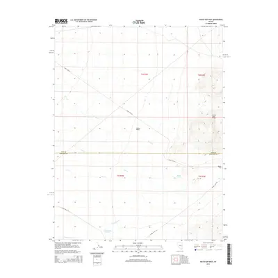
2014 Map of Water Gap West
USGS Topo · Published 2014About this map
Garden Valley is a high desert basin defined by the dramatic limestone and volcanic contours of the Golden Gate Range along its eastern edge. This remote corner of Nevada’s basin and range province is traversed by a network of seasonal drainages, including Cherry Cr, Sand Cr, and Pine Cr, which channel intermittent snowmelt and rain through the arid terrain. The map captures the subtle infrastructure of livestock and range management in the Great Basin, notably Cañada Reservoir and Garden Valley Reservoir, alongside the namesake Water Gap that cuts through the mountains. Two primary routes, Cherry Creek Rd and Garden Valley Rd, provide the only significant access through this open landscape, which straddles the high border between Nye and Lincoln Counties.
Find a feature on this map
16 named features on this map. Tap any name to fly to it.
Don’t see what you’re looking for? This feature index may not catch every label — zoom into the map to look around manually.
Map Details
Editions of this 2014 Water Gap West Map
This is the sole edition of this map. No revisions or reprints were ever made.
Other maps of this area

1942 · Penoyer Valley
USGS Topo · 1:125,000

1954 · Caliente
USGS Topo · 1:250,000

1956 · Lund
USGS Topo · 1:250,000

1959 · Caliente
USGS Topo · 1:250,000

1960 · Lund
USGS Topo · 1:250,000

1985 · Adaven
USGS Topo · 1:24,000

1985 · Worthington Peak
USGS Topo · 1:24,000

1985 · Water Gap East
USGS Topo · 1:24,000

1985 · Coal Valley Reservoir
USGS Topo · 1:24,000

1985 · Murphy Gap NW
USGS Topo · 1:24,000