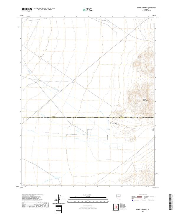
2021 Map of Water Gap West
USGS Topo · Published 2021About this map
The Golden Gate Range rises along the eastern edge of this desert landscape, where the terrain breaks through the mountain wall at the eponymous Water Gap. This drainage system is defined by intermittent streams including Cherry Cr, Sand Cr, and Pine Cr, which descend toward the floor of Garden Valley. This Basin and Range topography is bisected by the county line between Nye and Lincoln Counties, illustrating the remote administrative boundaries of the Great Basin.
Find a feature on this map
15 named features on this map. Tap any name to fly to it.
Don’t see what you’re looking for? This feature index may not catch every label — zoom into the map to look around manually.
Map Details
Editions of this 2021 Water Gap West Map
This is the sole edition of this map. No revisions or reprints were ever made.
Other maps of this area

1942 · Penoyer Valley
USGS Topo · 1:125,000

1954 · Caliente
USGS Topo · 1:250,000

1956 · Lund
USGS Topo · 1:250,000

1959 · Caliente
USGS Topo · 1:250,000

1960 · Lund
USGS Topo · 1:250,000

1985 · Adaven
USGS Topo · 1:24,000

1985 · Worthington Peak
USGS Topo · 1:24,000

1985 · Water Gap East
USGS Topo · 1:24,000

1985 · Coal Valley Reservoir
USGS Topo · 1:24,000

1985 · Murphy Gap NW
USGS Topo · 1:24,000