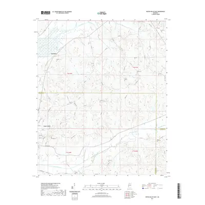
2021 Map of Water Valley East
USGS Topo · Published 2021About this map
The rolling highlands where the Yocona River meets numerous tributary streams define the landscape of northern Yalobusha and southern Lafayette counties. The terrain is deeply etched by watercourses like Humphreys Cr, Goodwin Cr, and the winding Otoucalofa Creek, creating a complex network of ridges and hollows that historically dictated settlement patterns. The northeastern outskirts of Water Valley transition into a rural landscape marked by a dense concentration of family and community burial grounds, illustrating the region's deep ancestral roots.
Find a feature on this map
90 named features on this map. Tap any name to fly to it.
Don’t see what you’re looking for? This feature index may not catch every label — zoom into the map to look around manually.
Map Details
Editions of this 2021 Water Valley East Map
This is the sole edition of this map. No revisions or reprints were ever made.
Other maps of this area

1940 · Oxford
USGS Topo · 1:62,500

1942 · Denmark
USGS Topo · 1:62,500

1943 · Denmark
USGS Topo · 1:62,500

1943 · Oxford
USGS Topo · 1:62,500

1954 · Water Valley
USGS Topo · 1:62,500

1954 · Water Valley West
USGS Topo · 1:24,000

1955 · Water Valley
USGS Topo · 1:62,500

1956 · Tupelo
USGS Topo · 1:250,000

1958 · Tupelo
USGS Topo · 1:250,000

1972 · Paris
USGS Topo · 1:24,000