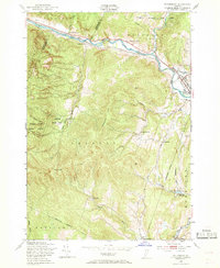
1948 Map of Waterbury
USGS Topo · Published 1969About this map
The Winooski River carves a deep valley through the Green Mountains, defining the early development patterns of this Vermont landscape in the late 1940s. The Central Vermont railroad follows this watercourse, serving as a primary transit corridor connecting North Duxbury, Bolton Falls, and the regional hub of Waterbury. The map reveals a community anchored by rural institutions, including the Bolton Memorial Sch and several hillside schoolhouses like Crossett Hill Sch and Phillips Sch.
Find a feature on this map
43 named features on this map. Tap any name to fly to it.
Don’t see what you’re looking for? This feature index may not catch every label — zoom into the map to look around manually.
Map Details
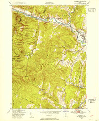
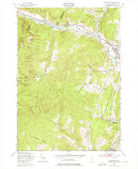
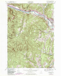
Editions of this 1948 Waterbury Map
4 editions found
Other maps of this area

1919 · Lincoln Mountain
USGS Topo · 1:62,500

1919 · Montpelier
USGS Topo · 1:62,500

1920 · Lincoln Mountain
USGS Topo · 1:48,000

1921 · Richmond
USGS Topo · 1:48,000

1921 · Lincoln Mountain
USGS Topo · 1:62,500

1921 · Montpelier
USGS Topo · 1:62,500

1922 · Barre
USGS Topo · 1:48,000

1924 · Barre
USGS Topo · 1:62,500

1924 · Camels Hump
USGS Topo · 1:62,500

1944 · Montpelier
USGS Topo · 1:62,500