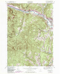
1948 Map of Waterbury
USGS Topo · Published 1981About this map
The Winooski River carves a deep path through this mid-century Vermont landscape, serving as the primary corridor for the Central Vermont railroad and several small river-bend settlements. The village of Waterbury serves as a local hub, anchored by the significant campus of the State Hospital and proximity to the Central Vermont tracks. South of the river, the terrain rises sharply into the mountains of the Camels Hump State Forest, where the legendary Long Trail follows the high ridges.
Find a feature on this map
43 named features on this map. Tap any name to fly to it.
Don’t see what you’re looking for? This feature index may not catch every label — zoom into the map to look around manually.
Map Details
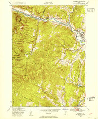
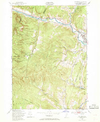
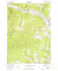
Editions of this 1948 Waterbury Map
4 editions found
Other maps of this area

1919 · Lincoln Mountain
USGS Topo · 1:62,500

1919 · Montpelier
USGS Topo · 1:62,500

1920 · Lincoln Mountain
USGS Topo · 1:48,000

1921 · Richmond
USGS Topo · 1:48,000

1921 · Lincoln Mountain
USGS Topo · 1:62,500

1921 · Montpelier
USGS Topo · 1:62,500

1922 · Barre
USGS Topo · 1:48,000

1924 · Barre
USGS Topo · 1:62,500

1924 · Camels Hump
USGS Topo · 1:62,500

1944 · Montpelier
USGS Topo · 1:62,500