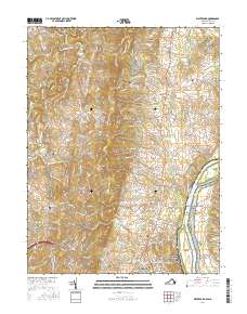
2016 Map of Waterford
USGS Topo · Published 2016About this map
Catoctin Mtn and the Culpeper Basin define the Piedmont landscape of Loudoun County in this 2016 survey. The terrain is marked by the winding path of Catoctin Creek and its tributaries, such as Milltown Cr and Limestone Br, which drain toward the Potomac River. The river corridor includes the significant protected lands of the Chesapeake and Ohio Canal National Historical Park and the prominent Harrison Island. Local history is deeply embedded in the rural road network, connecting long-standing communities like Waterford and Lucketts. Genealogists will find several burial sites recorded across the map, including Waterford Cem, Mount Pleasant Cem, and the Catoctin Free Church Cem near Paeonian Springs. This map shows the modern footprint of these crossroads settlements as they intersect with commuter corridors such as Clarks Gap Rd.
Find a feature on this map
167 named features on this map. Tap any name to fly to it.
Don’t see what you’re looking for? This feature index may not catch every label — zoom into the map to look around manually.
Map Details
Editions of this 2016 Waterford Map
This is the sole edition of this map. No revisions or reprints were ever made.
Other maps of this area

1884 · Harpers Ferry
USGS Topo · 1:125,000

1891 · Harpers Ferry
USGS Topo · 1:125,000

1893 · Frederick
USGS Topo · 1:125,000

1893 · Harpers Ferry
USGS Topo · 1:125,000

1894 · Frederick
USGS Topo · 1:125,000

1908 · Middletown
USGS Topo · 1:48,000

1908 · Seneca
USGS Topo · 1:62,500

1908 · Ijamsville
USGS Topo · 1:62,500

1909 · Ijamsville
USGS Topo · 1:62,500

1910 · Antietam
USGS Topo · 1:62,500