Loading...
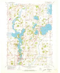
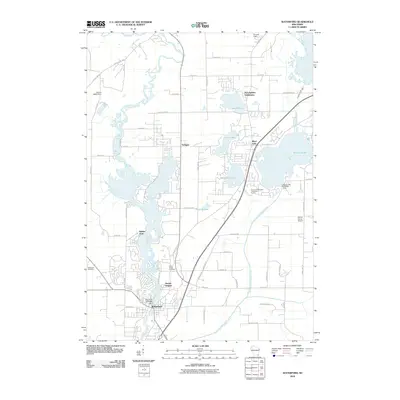
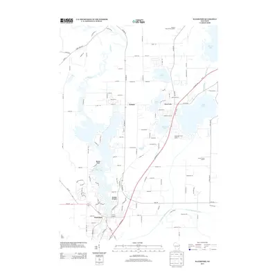
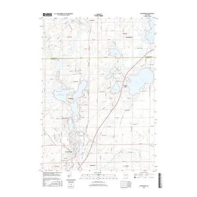
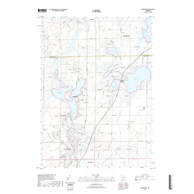
Loading map...1959 Map of Waterford
USGS Topo · Published 1973About this map
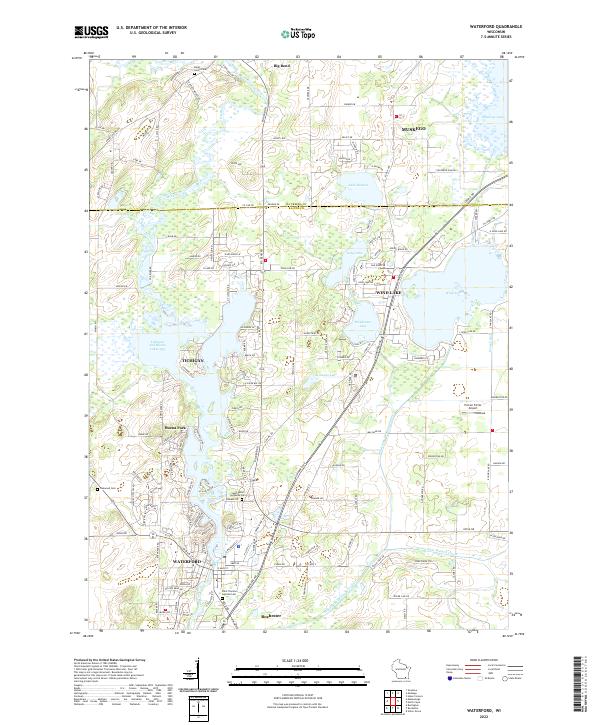
The Fox River carves a winding path through the border of Waukesha and Racine counties, serving as the hydraulic backbone for the lakeside settlements of Tichigan and Waterford. This landscape is defined by its post-glacial hydrology, featuring a dense cluster of water bodies including Tichigan Lake, Wind Lake, and Lake Denoon. These waters supported early recreational and residential growth, evidenced by the numerous Gravel Pits and public spaces like Heg Memorial Park.
Find a feature on this map
39 named features on this map. Tap any name to fly to it.
Don’t see what you’re looking for? This feature index may not catch every label — zoom into the map to look around manually.
Map Details
Date Portrayed1959
Date Published1973
PublisherU.S. Geological Survey
Map TypeTopographic
Scale1:24,000
Physical Dimensions22.61 x 27.33 inches
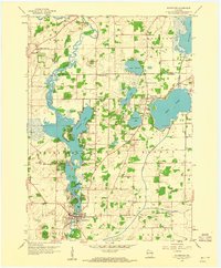
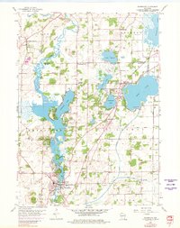
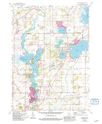
Editions of this 1959 Waterford Map
4 editions found
Historical Maps of Muskego Through Time
6 maps found
Featured Locations
Source Details
SourceU.S. Geological Survey
CopyrightPublic Domain