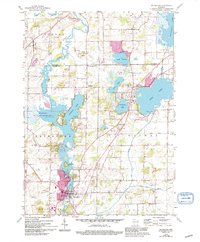
1959 Map of Waterford
USGS Topo · Published 1994About this map
The Fox River system anchors this survey of southeastern Wisconsin, connecting a dense chain of glacial lakes that include Tichigan Lake, Wind Lake, and Lake Denoon. The village of Waterford sits at a strategic bend in the river, showing early residential development near the Sewage Disposal Park. This landscape is heavily defined by its mid-century infrastructure and land use, from the Old Railroad Grade cutting through the terrain to the numerous Gravel Pits concentrated near Tichigan.
Find a feature on this map
43 named features on this map. Tap any name to fly to it.
Don’t see what you’re looking for? This feature index may not catch every label — zoom into the map to look around manually.
Map Details
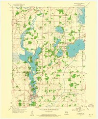
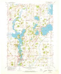
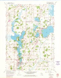
Editions of this 1959 Waterford Map
4 editions found
Other maps of this area

1891 · Muskego
USGS Topo · 1:62,500

1892 · Eagle
USGS Topo · 1:62,500

1893 · Silver Lake
USGS Topo · 1:62,500

1893 · Geneva
USGS Topo · 1:62,500

1894 · Eagle
USGS Topo · 1:62,500

1897 · Eagle
USGS Topo · 1:62,500

1901 · Muskego
USGS Topo · 1:62,500

1904 · Lake Geneva
USGS Topo · 1:62,500

1906 · Eagle
USGS Topo · 1:62,500

1906 · Silver Lake
USGS Topo · 1:62,500