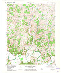
1981 Map of Waterford
USGS Topo · Published 1981About this map
Waterford serves as a central hub on this 1981 survey, positioned at the convergence of several waterways including Plum Creek and Little Plum Creek. The landscape is defined by the meandering Salt River, which carves through the southern portion of the quadrangle near Chadbourn Branch. This rural area at the junction of Spencer, Bullitt, and Jefferson counties shows a network of family-named roads and remote settlements such as Whitfield and Crenshaw. A pipeline cuts across the terrain, illustrating the modern utility infrastructure overlaying a traditionally agrarian geography. Genealogists may find value in the scattered cemeteries and local landmarks like Wheelers Ridge and Dutchman Creek, which help anchor the locations of historical homesteads and land holdings within the river valley and its surrounding hollows.
Find a feature on this map
29 named features on this map. Tap any name to fly to it.
Don’t see what you’re looking for? This feature index may not catch every label — zoom into the map to look around manually.
Map Details
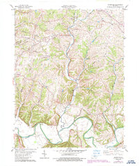
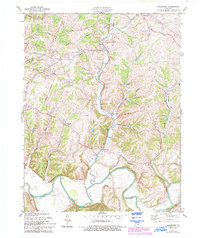
Editions of this 1981 Waterford Map
3 editions found
Other maps of this area

1907 · Louisville
USGS Topo · 1:62,500

1929 · Taylorsville
USGS Topo · 1:62,500

1949 · Samuels
USGS Topo · 1:24,000

1949 · Shepherdsville
USGS Topo · 1:62,500

1951 · Jeffersontown
USGS Topo · 1:24,000

1951 · Fisherville
USGS Topo · 1:24,000

1951 · Waterford
USGS Topo · 1:24,000

1951 · Mount Washington
USGS Topo · 1:24,000
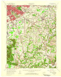
1951 · Louisville
USGS Topo · 1:62,500

1953 · Bloomfield
USGS Topo · 1:24,000